Mid-Hurricane Season Review: Warm Waters vs. El Niño’s Wind Sheer 2023
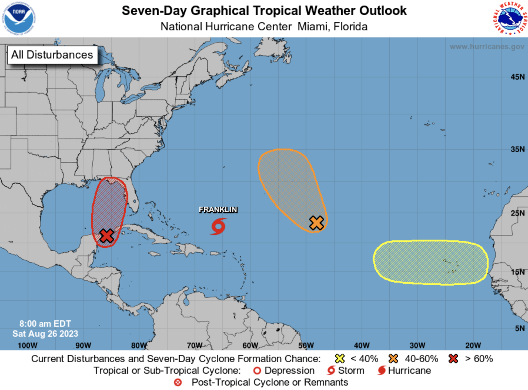
The 2023 Atlantic hurricane season has brought with it a curious blend of elements that have kept meteorologists and weather enthusiasts on their toes. With 9 named storms but only one hurricane thus far, the season has defied expectations and highlighted the intricate dance between two contrasting factors: abnormally warm waters and the disruptive effects of El Niño-induced wind shear. As we approach the peak of the season on September 10th, let's delve into the dynamics behind this year's unique hurricane behavior.
Abnormally Warm Ocean Temperature
Warm ocean waters act as the fuel for hurricanes, providing the energy necessary for their formation and intensification. This year, the Atlantic waters have been notably warmer than usual, acting as a catalyst for the increased number of named storms. As temperatures rise, the ocean's surface becomes a breeding ground for developing weather systems, each with the potential to evolve into a full-fledged tropical storm.
The heightened sea surface temperatures this season have led to an above-average number of named storms. However, warm waters alone do not guarantee the transformation of these storms into hurricanes, as El Nino fights against the formation.
El Niño's Wind Shear
Enter El Niño, a recurring climate pattern characterized by the warming of the central and eastern equatorial Pacific Ocean. While El Niño can have widespread impacts on weather patterns around the globe, its influence on Atlantic hurricanes is particularly noteworthy. El Niño tends to create strong upper-level winds known as wind shear, which disrupt the vertical structure of developing storms.
This year, the presence of El Niño has introduced a challenging factor to the hurricane equation: increased wind shear over the Atlantic basin. Wind shear can inhibit the vertical organization of tropical systems, preventing them from becoming well-defined and intensifying into hurricanes. The disruptive effects of El Niño's wind shear have been evident in the limited number of hurricanes that have emerged in spite of the conducive warm waters.
Battle of the Elements
The interplay between warm waters and El Niño's wind shear has led to a season characterized by contrasts. On one hand, the warm waters have set the stage for more frequent tropical storm formation. On the other, the wind shear from El Niño has acted as a limiting factor, preventing many of these storms from reaching hurricane status. This dynamic tug-of-war has resulted in a statistical anomaly: a higher-than-average number of named storms paired with a below-average number of hurricanes.
As we approach the peak of the season, it remains uncertain how this balance will evolve. Will the warm waters continue to foster more storms that struggle against the wind shear's effects, or will a shift in atmospheric conditions provide a window for some of these storms to intensify?
Predicting Storms for 2023
I’m predicting that conditions stay fairly stable throughout the season. I think we will see double the average number of storms trying to form but half the average amount of hurricanes with MAYBE one major hurricane. If we have a major hurricane it will be in the low end of the scale.
Official Prediction for 2023:
Named Storms: 22 (30yr avg: 14)
Hurricanes: 4 (30yr avg: 7)
Major Hurricanes: 1 (30yr avg: 3) I expect this to be a CAT 3