HURRICANE TRACKING CONSOLE

Select a Storm:
No current storms
General Weather Maps and Charts for the Atlantic Basin
This page is general information on the Atlantic, Caribbean, and Gulf. For information on a specific current storm, forecast, spaghetti models - please select a storm in the above section.
Weather Radar
Atlantic IR Satellite

Atlantic GEOCOLOR Satellite

Atlantic Water Vapor Satellite

Caribbean IR Satellite

Caribbean GOES GEOCOLOR Satellite

Caribbean Water Vapor Satellite

Gulf Sandwich Composite Satellite

Gulf GEOCOLOR Satellite

Gulf Water Vapor Satellite

Wind Patterns and Maps
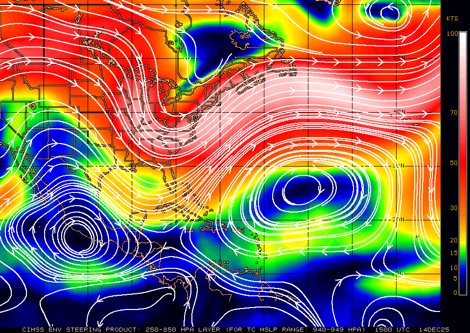
Upper Level Steering Map
Wind Shear Cyclone Formation Probability

24h Wind Shear Map

72hr Wind Shear Map

Wind Shear Tendency Map

Pressure Systems
Today's Pressure Map

48hr Pressure Map

72hr Pressure Map

5 Day Pressure Map

72hr Pressure and Precipitation Map

Sea Surface Temperature
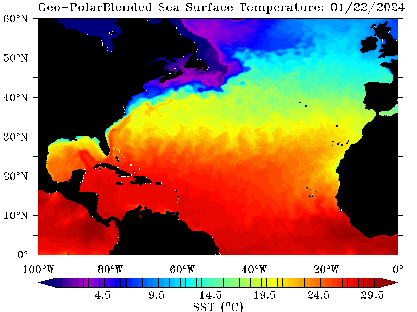
Water Temperature Maps
Ocean Temperature Map
