When Does Hurricane Season Start and End?
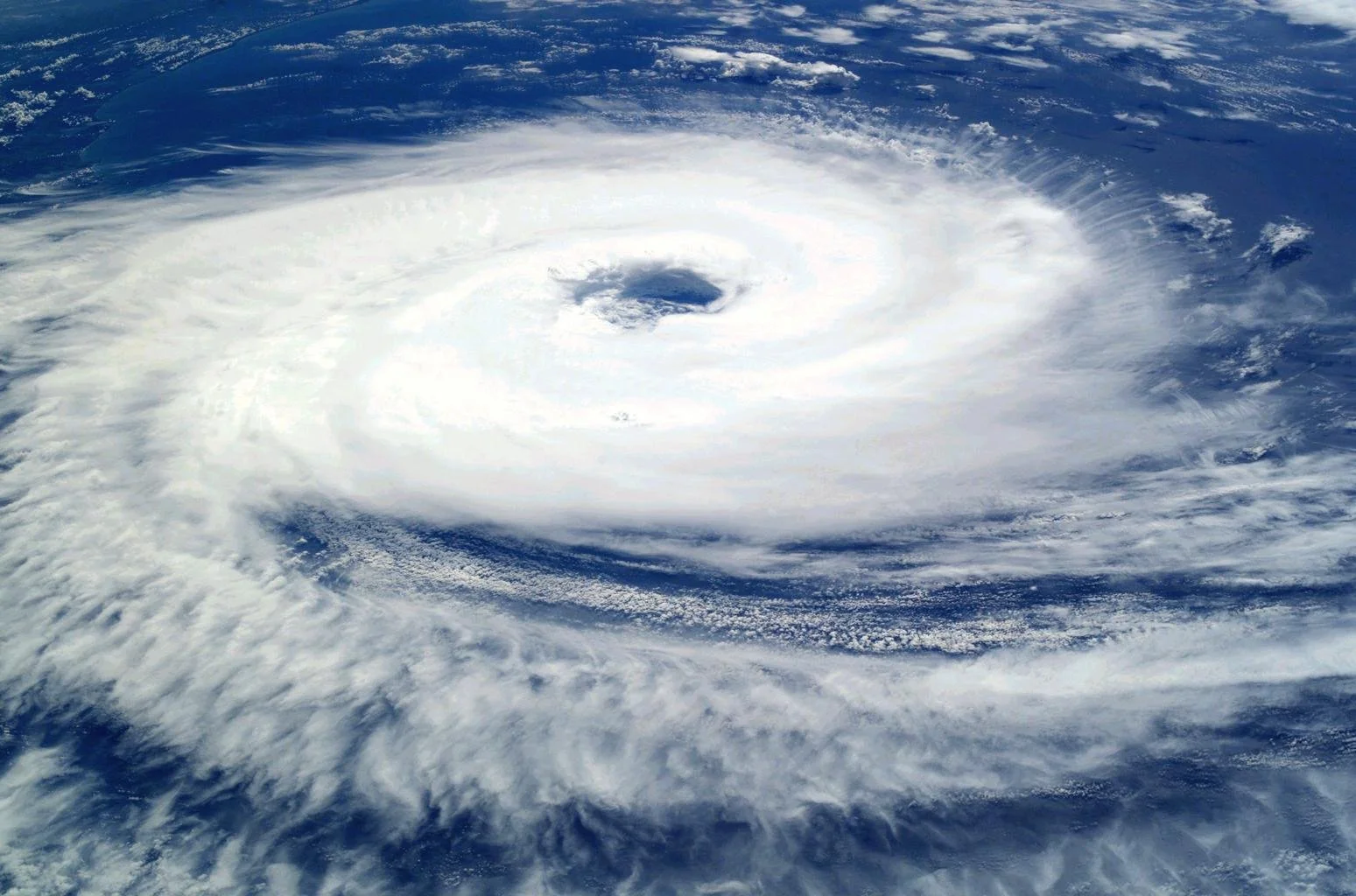
Hurricane Katrina over the Gulf of Mexico
When is hurricane season?
Hurricane season refers to the time of year when hurricanes have a higher likelihood of developing. The exact timing and duration of the season can differ based on the region and ocean basin (Atlantic or Pacific). In order to provide you with a clear understanding of when hurricane season occurs, let's examine the two primary regions where hurricanes frequently form: the Atlantic Basin and the Pacific Basin.
1. Atlantic Hurricane Season:
The Atlantic hurricane season officially starts on June 1st and ends on November 30th. This time frame encompasses the period when the formation of tropical cyclones is most probable in the Atlantic Ocean, Caribbean Sea, and Gulf of Mexico. The season usually reaches its peak between August and October, with September being the month with the highest hurricane activity. While hurricanes can still develop outside of the official season, the probability of storms is significantly reduced.
2. Pacific Hurricane Season:
The Pacific Ocean experiences two distinct hurricane seasons, depending on the geographical area:
- Eastern Pacific Hurricane Season:
The Eastern Pacific hurricane season typically commences earlier than the Atlantic season, starting on May 15th and concluding on November 30th. Peak hurricane activity in this region occurs between July and September, with August as the most active month.
- Western Pacific Hurricane Season:
The Western Pacific, which includes areas around the Philippines, Taiwan, and Japan, undergoes a more extended hurricane season that can last from April to December. Although typhoons, as tropical cyclones are known in this region, can form year-round, the peak season generally spans from July to October.

Hurricane Dennis makes landfall in Florida
What effects the intensity of Hurricane Season?
The intensity of hurricane season is affected by various elements that impact the frequency and power of the storms that form. Gaining insight into these factors can aid in anticipating the potential severity of a specific hurricane season, allowing for improved preparation and response. The following are some crucial factors that determine the intensity of hurricane season and number of storms:
Ocean Temperatures:
Warm ocean waters serve as a critical energy source for hurricanes. As ocean temperatures rise, the likelihood of hurricane formation and intensification also increases. Generally, temperatures above 26.5°C (79.7°F) are considered conducive to hurricane development. During hurricane season, areas with warmer waters are more prone to experiencing stronger and more frequent storms.
Weather Conditions:
Atmospheric conditions, can significantly affect the formation of hurricanes. Low wind shear (the variation in wind speed and direction at different altitudes) enables hurricanes to develop and intensify, while high wind shear can hinder their growth or even cause them to disintegrate. Similarly, high levels of atmospheric humidity provide the necessary moisture for hurricanes to form and grow stronger.
El Niño and La Niña Phenomena:
El Niño and La Niña are natural climate occurrences that can greatly impact hurricane activity. El Niño events, which involve warmer than average ocean temperatures in the equatorial Pacific Ocean, generally suppress hurricane activity in the Atlantic Basin while amplifying it in the Eastern Pacific. In contrast, La Niña events, characterized by cooler than average ocean temperatures, typically result in increased hurricane activity in the Atlantic Ocean and diminished activity in the Eastern Pacific.
Climate Change Impacts:
As Earth's climate continues to evolve, the intensity and frequency of hurricanes may be altered. Increasing ocean surface temperatures and changing atmospheric patterns, driven by heightened greenhouse gas emissions, can potentially lead to more powerful and destructive storms. Moreover, rising sea levels due to the melting of ice sheets and glaciers can worsen the storm surges associated with hurricanes, resulting in more severe coastal flooding.
Atlantic Hurricane Season: Peak Months and Timeline

Peak of Hurricane Season is September 10th
The Atlantic hurricane season represents a time of increased tropical cyclone formation, impacting regions such as the Atlantic Ocean, Caribbean Sea, and Gulf of Mexico. Gaining knowledge about the high-activity periods and chronology of this season can enable inhabitants and visitors to better prepare for possible storms. In this section, we will discuss the Atlantic hurricane season, its high-activity periods, and the typical chronology.
Season Span:
The Atlantic hurricane season officially lasts from June 1st to November 30th, a six-month window during which there is a greater likelihood of tropical cyclones forming. Nonetheless, it is crucial to recognize that hurricanes can occasionally develop outside this designated time frame, although at a lower frequency.
Peak Months:
Although the entire hurricane season carries an elevated risk of storm formation, the high-activity periods generally fall between August and October in the Atlantic Basin. This phase marks the climax of hurricane activity, with the largest number of storms and the highest potential for major hurricanes (Category 3 or higher) occurring. Specifically, September is the most active month for hurricanes, as conditions are usually optimal for storm development during this time.
Chronology of Storm Formation:
The Atlantic hurricane season follows a general pattern in terms of storm formation. Early in the season, storms are more likely to form in the western Caribbean and Gulf of Mexico, where ocean temperatures are warmer. As the season progresses, the storm formation area broadens eastward, encompassing the central and eastern Atlantic by the high-activity periods. Following the peak, storm activity starts to diminish, with the main development area gradually shifting back towards the western Caribbean and Gulf of Mexico.
2023 is an El Niño Year: Implications for Hurricane Season
El Niño is a naturally occurring climate phenomenon that can significantly impact hurricane activity in various regions. Typically, hurricane seasons are less active during El Niño years, but it's essential to understand that each El Niño event's strength and duration can vary. In 2023, there is a 62% chance of El Niño developing during the May-July period.
El Niño's Impact on Hurricane Seasons:
During an El Niño year, warmer than average ocean surface temperatures in the equatorial Pacific Ocean can alter weather patterns across the globe. In the Atlantic basin, El Niño tends to increase wind shear, inhibiting hurricane formation and intensification. As a result, hurricane seasons are generally less active in the Atlantic during El Niño years.
The 2023 El Niño Outlook:
Although the current forecast for 2023 indicates a 62% chance of El Niño developing during the May-July period, it is important to remember that predictions can change, and the event's strength remains uncertain. A weaker or short-lived El Niño may have a limited impact on hurricane activity, while a stronger or more persistent event could lead to a more significant reduction in storm frequency and intensity in the Atlantic Ocean.
The Role of Ocean Temperatures:
Regardless of the El Niño outlook, it is crucial to monitor ocean temperatures, as they play a vital role in hurricane formation. If ocean temperatures remain warm, particularly in the tropical Atlantic and Caribbean regions, the 2023 hurricane season may still be active despite the potential influence of El Niño. Warm surface temperatures in the Atlantic provide the necessary energy for storms to develop, and above-average temperatures can offset some of the inhibiting effects of El Niño and lead to an increase in storms and major hurricanes.
The Atlantic Ocean Is Very Warm in 2023

2023 Map Sea Surface Temperatures showing abnormally warm waters in the Atlantic Basin
In 2023, the Atlantic Ocean's temperatures are notably warmer than average, exhibiting similarities to the extraordinary conditions of the 2020 hurricane season. The temperatures in the primary development area of the Atlantic are exceptionally above the norm, reminiscent of the 2020 season that saw a historic formation of 30 named storms. The increased sea surface temperatures provide a greater energy source for tropical cyclones, potentially leading to a rise in storm numbers and a heightened probability of major hurricanes.
When is hurricane season in Florida?
Florida is hit with more hurricanes than any other US state. It also has more coastline than any state besides Alaska, making it the state with the most coastal areas vulnerable to damage from hurricanes. The hurricane season in Florida coincides with the Atlantic hurricane season, which officially extends from June 1st to November 30th. Though Florida has its own trends when it comes to the peak active season.
Peak hurricane season in Florida
While the entire Atlantic hurricane season presents an elevated risk of hurricanes, Florida typically experiences peak hurricane activity from August to October. During these months, conditions are generally more conducive to tropical storm and hurricane development, and the state is at its highest risk of being impacted by both tropical storms and hurricanes. September, in particular, has the highest likelihood of hurricane activity, especially major hurricanes, due to optimal environmental factors for storm formation.
Regional Variability in Florida
It is worth noting that Florida's geographical location can influence the timing and frequency of hurricanes. The state's western coastline, bordering the Gulf of Mexico, is more prone to late-season hurricanes as the Gulf's waters tend to be warmer later in the season. In contrast, the eastern coastline, facing the Atlantic Ocean, is more susceptible to early- and mid-season hurricanes, as the Atlantic's hurricane-prone areas shift eastward during this period.
Staying Informed: Reliable Sources for Hurricane Updates
It's essential to stay informed about the latest storm developments to ensure the safety and well-being of those residing in or visiting areas prone to hurricanes. Accurate information from reliable sources can help individuals make informed decisions about preparing for, responding to, and recovering from hurricane impacts. In this section, we will discuss several dependable sources for hurricane and tropical storm updates.
National Weather Service (NWS):
A branch of the NOAA, the National Weather Service is a key resource for official forecasts and updates in the United States. The NWS provides regular updates on tropical cyclone activity, including storm track predictions, forecasts, and potential impacts. Their website (www.weather.gov) offers a wealth of resources, such as interactive maps, satellite imagery, and detailed storm advisories.
National Oceanic and Atmospheric Administration (NOAA):
The National Oceanic and Atmospheric Administration is a federal agency responsible for monitoring and predicting changes in weather, climate, and ocean conditions. NOAA oversees the NWS, which in turn provides essential information on hurricanes and tropical storms. The NOAA website (www.noaa.gov) offers comprehensive resources related to hurricanes and tropical storms, including storm tracking tools, satellite images, and educational materials. By visiting NOAA's website, you can stay up-to-date on the latest developments.
Local News and Weather Channels:
Local news and weather channels are indispensable sources of information tailored to specific regions during the hurricane season. These outlets often collaborate with the NWS and other meteorological organizations to deliver accurate, current information on storm developments and potential local impacts. Staying tuned to local TV or radio broadcasts, or following their websites and social media accounts, can help you stay informed about the latest weather conditions and any emergency instructions issued by local authorities.
Weather Apps and Online Services:
Numerous weather apps and online services offer real-time hurricane and tropical storm information and forecasts. Examples include The Weather Channel, Weather Underground, and AccuWeather. These platforms provide timely storm updates, radar imagery, and localized forecasts that can be accessed via smartphones, tablets, or computers. When using these services, it is essential to ensure that the information aligns with official sources.
Preparing for Hurricane Season: Tips and Best Practices
It is crucial for residents and visitors in storm-prone areas to take proactive measures to ensure their safety and minimize potential damages. Adequate preparation can make a significant difference in how individuals and communities cope with the impacts of hurricanes. In this section, we will outline several tips and best practices to help you prepare for the hurricane season effectively.
Develop a Family Emergency Plan:
Creating a comprehensive family emergency plan is a critical first step in preparing for hurricane season. Your plan should include details on how to communicate with family members, designate a safe meeting place, and establish evacuation routes. Ensure that everyone in your household understands the plan and knows what to do in case of hurricanes or tropical storms. Also prepare an emergency supplies kit for your family including pets.
Safeguard Your Home:
Take steps to protect your home from potential damage. Install storm shutters or board up windows with plywood to protect them from high winds and flying debris. Secure outdoor items, such as patio furniture and trash cans, to prevent them from becoming projectiles. Trim trees and shrubs around your property to minimize the risk of broken branches causing damage. Make sure your gutters and downspouts are clear of debris to allow proper drainage during heavy rainfall.
Review Insurance Coverage:
Before hurricane season begins, review your insurance policies to ensure you have adequate coverage for potential damages caused by hurricanes or flooding. Keep in mind that flood insurance is typically not included in standard homeowners' policies and may require separate coverage. Understanding your insurance coverage can help you recover more quickly after a storm.
Stay Informed:
Monitor reliable sources, such as the National Weather Service and the National Oceanic and Atmospheric Administration, for the latest updates and forecasts. Pay attention to local news and weather channels for specific regional information and follow emergency instructions issued by local authorities. Staying informed about the latest developments can help you make timely decisions in response to a hurricane threat.
By following these tips and best practices, you can effectively prepare for the hurricane season and better protect yourself, your family, and your property from the potential impacts of hurricanes. Remember that early preparation is key to ensuring the safety and well-being of everyone involved.